
Understanding the future of agriculture in Elgeyo-Marakwet
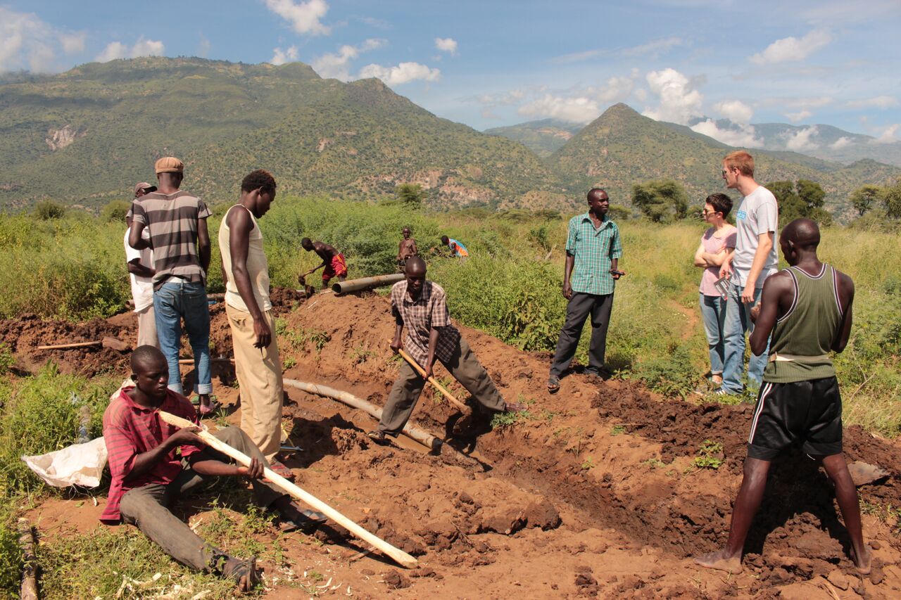
Through our flagship project we have been mapping out a new paradigm for sustainable ecological management and the future of rural livelihoods, based on the concept of natural prosperity. Our work has begun in Elgeyo-Marakwet county of northwest Kenya, a primarily agrarian region where the Institute for Global Prosperity has been working for eight years.
Our project is concerned with how an improved understanding of the region’s natural prosperity can improve agriculture. Like many African countries, agriculture is the backbone of the Kenyan economy contributing 27% to GDP and providing livelihoods to 78% of the population. However, soil degradation driven by unsustainable agricultural practices, such as mono-cropping, and the effects of climate change are undermining agricultural productivity just as population growth is driving up demand. The sustainable intensification of agriculture is therefore a top priority.
Our work aims to develop localised understandings of the state of natural prosperity, the threats posed to it, and how it affects agriculture and consequently socioeconomic prosperity. Using a holistic interdisciplinary and multi-stakeholder approach we fuse cutting edge science and local knowledge to produce synthesised research. From this robust evidence base we collaborate with local-stakeholders to map out new paradigms for sustainable ecological management. We harness this research to formulate effective policy recommendations co-designed alongside county government officials to embed resiliency at the county level.
The project is a collaboration between the Institute for Global Prosperity, Elgeyo-Marakwet county government, the University of Eldoret, Masaii Maara University, the National Museums of Kenya and the World Agroforestry Centre (ICRAF). Building on our success in Elgeyo-Marakwet, we aim to expand it to five other counties in Kenya.
Research Methods
Across our research in five counties of Kenya we will deploy the same methodology as in Elgeyo-Marakwet, while accounting for differences at the local level. Our work fuses local knowledge with cutting edge scientific methods to understand the impacts of climate change on the region.
Our methods include:
Citizen scientists are local residents who design the research questions, who develop the research methods and analyse the data, looking particularly at management of water, soil, crops, trees and other plant resources.
Satellite data to map and trace the geophysical nature and changes to the resource base across different regions, including vegetation, hydrology, soils and land use.
Soil samples to determine nutrient levels and identify crop yield-efficiency gaps and levels of hydrology.
Biodiversity surveys to understand and map the variation of plant species within the region.
Cumulatively, our research allows us to map a region’s natural capital, which will be recorded in a data sharing platform for use across counties. Using down-scaled climatic predictions that account for population growth and resource use, we can evaluate how the region’s natural capital will be affected by climate disruption at a resolution not yet attempted in sub-Saharan Africa.